Archaeological map system of the country was unveiled / Location of 8,000 archeological sites

According to Aria Heritage’s report, quoting the public relations of the Cultural Heritage and Tourism Research Institute, Mohammad Rokni, an expert at the Archaeological Research Institute, said at the ceremony, which was held yesterday, December 12, 1400, to commemorate Research Week: “Gradually, due to the abundance of information layers, it will be uploaded to other researchers and audiences.”
He added: “One of the most important activities of the Archaeological Research Institute is the use of digital tools to prepare the archaeological map of the country, which has been done since the late eighties with the use, estimation and result of the most important specialized software and specific programs.”
The expert explained: “Due to the abundance of information layers, the need for wider management at the provincial level and research users was felt. “This system has been prepared to be a communication route between the Archaeological Research Institute and the provincial centers, and it can be easily exploited and managed with layers with the least equipment.”
“For this purpose, this system was created and unveiled with the specialized support of the remote sensing department of the Faculty of Geography, University of Tehran,” Rokni said.
Mohammad Mortezaei, head of the Archaeological Research Institute, also explained the center’s work in the form of research groups, referring to the center’s performance in the past research year.
He added: “Due to the governing role of the research institute in the field of archeology, the center has extensive cooperation with universities and international scientific research centers in countries such as Germany, England, France, Belgium, the Netherlands and که in the framework of which joint archeological projects are carried out.”
Referring to the issuance of 120 archeological permits, the publication of 4 books and 5 articles in the last research year by the archaeologist, Mortezaei stated: Is.”
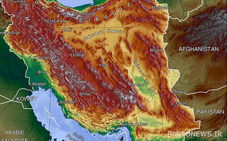
The head of the Archaeological Research Institute said about the progress of the archeological map: “So far, 8,000 points have been located and reviewed in the map by the country’s archeological researchers.”
In the continuation of this meeting, Keramatullah Ziarat, the Dean of the Faculty of Geography, University of Tehran, spoke about the correlation between the knowledge of geography and archeology, and called these two categories interrelated.
Sara Atachi, a faculty member at the University of Tehran, also explained the programming and development of the country’s archaeological map system (web-based).
.

